Spain experienced last Tuesday, October 29, what is already considered the worst environmental catastrophe of the century in the country. In a matter of hours, the DANA devastated entire villages, flooding houses, establishments, garages and entire streets, leaving, for the moment, 215 fatalities – the vast majority, 211, in Valencia.but also in Castilla-La Mancha and Andalusia – and hundreds of missing persons.
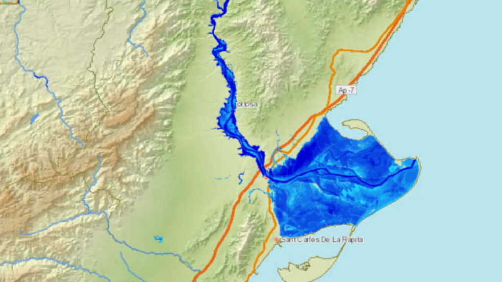
Now, in response to the recurring question of whether the tragedy could have been avoided, it has been shown that the risk of flooding in certain areas had been known for many years.The National Flood Zone Mapping System (SNCZI) of the Ministry for Ecological Transition and Demographic Challenge (Miteco), which can help to know “how far the water can reach in a hypothetical river flood”, as an expert explains to Público.
What is the SNCZI?
The Ministry’s tool provides information to find out whether a particular area is at risk of flooding with data going back 12 years. In addition, it has been updated this year with 500 km more around each river basin to improve the analysis of the different territories.
In these maps appear flood spots that are associated with hypotheses of studies, which start from a European initiative. However, in the areas where nothing is shown, it does not mean that they are free of danger.but perhaps they have not yet been studied.
How to use the tool?
With this tool, you can consult the flood hazard of both the area where you live and the nearest or busiest roads in each location. To do this, the first thing to do is to enter the web page and choose the information you want to consult. There are three options:
- Dams and reservoirs
- Public Hydraulic Domain and Flood Zones (seen as “Dph and zi”).
- Hydroelectric developments
In case you want to consult the status of dams and reservoirs, you must. search for the name of one and click on the location icon. Once this is done, the data of the chosen dam or reservoir can be consulted.
If, on the other hand, you want to consult specific watercourses, you can click on the “dhp zi” section, where you can search for a specific watercourse by name and location. In this section it is possible to consult both the map that covers that riverbed and the roads near it.
Within this table, the “add services” option appears and one of the most useful services is, by clicking on the fourth option (“Cartography of flood zones (ZI) of fluvial origin), “hazard maps”.
It is precisely in this option, in the “add services” section, that truly useful options can be found, especially that of “fluvial flood hazard”, where clicking twice opens the map that represents it. There are also the options of flood zones of maritime origin and watercourses with studies of public hydraulic domain.
How to interpret the results and maps?
The maps have two phases: in the first one appear the hazard maps, which have a model that represents how the land and the cities are, and, on this, present a hydrological study to calculate the water that could flow in the event of a flood. In addition, the land use on each piece of land is shown and the actual risk to people is extracted.
