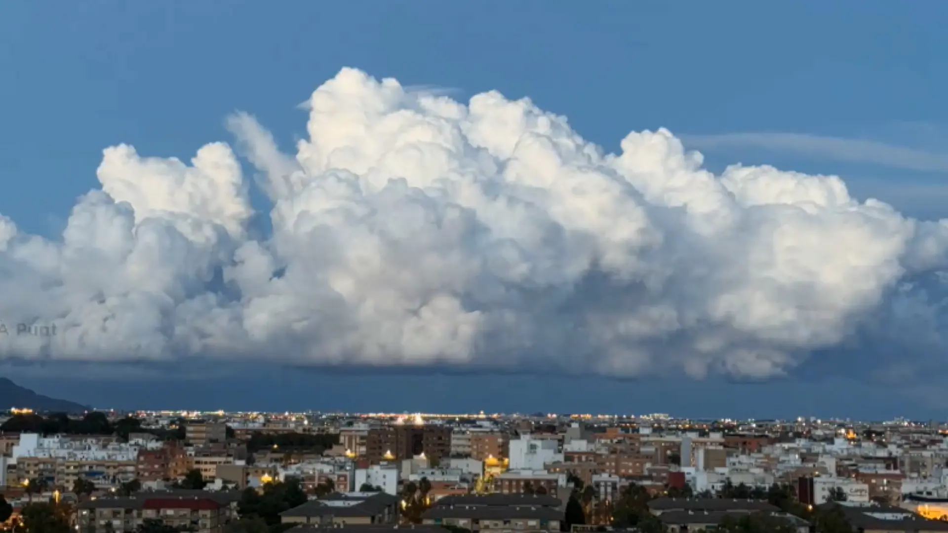
The DANA (isolated depression at high levels) that has ravaged the province of Valencia this week has left very striking images, and not all of them are have been captured at ground level.
A video broadcast by the Valencian regional television has shown the spectacular formation of the clouds that fiercely discharged the storm that provoked the severe flooding.
These are clouds of the type cumulonimbus, also known as ‘storm clouds’. They are internally formed by a column of warm, moist air rising in a rotating spiral shape.
Their base is usually less than two kilometers in height while the top can reach about 11 to 12 km altitude. These clouds often produce heavy precipitation and thunderstorms, especially when they are fully developed.
They can form in isolation, in clusters, or along a cold front in a line of instability. Cumulonimbus thunderstorm cells can produce torrential rain of a convective nature and flash floods, as well as straight-line winds.
Typical locations of high cloud formation are, in temperate zones, around a cold front linenear the oceans (where sea breezes can provide energy to the storm), or on mountains on windward slopes where the wind is forced to rise causing warmer (less dense) air to rise giving rise to heavy precipitation and thunderstorms.

